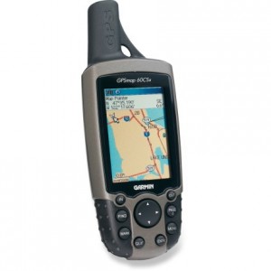
This introductory one-day course is designed to teach GPS basics in terrestrial applications, enabling users to get the most from their GPS unit.
Morning agenda will include basic theory and terminology of the GPS system, and an introduction to mapping concepts such as scale, projections, and coordinate systems. Theory will also include GPS field techniques, and a review of accuracy expectations and limitations.
The afternoon begins with field exercises to practice several GPS techniques.
The course ends in the classroom with a comparison of the features and capabilities of various brands and models, and a demonstration of available software and data, which can provide added functionality.
Please call us to discuss your training requirements
USING HAND HELD GPS
Join our one-day course designed to teach GPS theory and skills, enabling you to get the most from your GPS unit. Both beginner and experienced users will benefit from course content which includes classroom lectures and field exercises.
Topics covered include:
- Datums, Projections & Coordinate Systems
- Configuration, Pages and Menus
- Waypoints, Routes & Tracks
- Navigation and Data Collection
- Data Uploading and Downloading
- Additional Software and Data
- Accuracy Expectations
- Energy and Mines GPS Survey Standards
USING OZI EXPLORER GPS SOFTWARE
Ozi Explorer greatly expands on the capabilities and usefulness of your GPS receiver allowing you to download and manage your GPS data, create simple maps, and export data for use in a CAD/GIS program.
This one-day course teaches program fundamentals including:
- Configuration and File Management
- Commercially Available Maps
- Geo-referencing Your Own Custom Map
- Working with Waypoints, Routes and Tracks
- Data Uploading and Downloading
- Map Composition and Plotting
- Navigation
- Exporting to CAD/GIS
To discuss your specific needs or schedule a course or program in your town, contact us today.
